
I was raised in one of those southern Appalachian hollers that’s pretty damn hard to find unless you already know how to get there. That’s in part because the roads into the hollers are named for the waterways that run along and below them, meaning they all share variations on the same few words. There’s Upper Grassy Branch Road, Lower Grassy Branch Road, and Shope Creek Road. Then there’s Bull Creek Road, which offers the only public access to the particular holler where I grew up.
Despite being so hard to find — especially in the days when you had to print off your MapQuest before you left the house — my childhood home is only 25 minutes outside of downtown Asheville. My parents still live there, and because of a family wedding that I was determined not to miss, I watched from their living room as Hurricane Helene conducted the surrounding creeks and branches into a destructive symphony. Bodies of water that, when I was a kid, didn’t even go above my rainboots ripped open the seams of our community and our shared infrastructure.
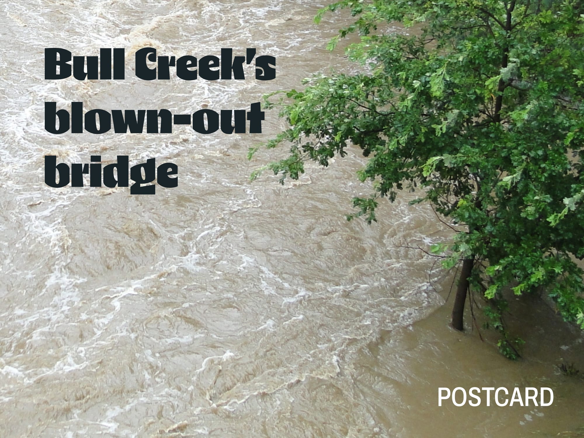
Bull Creek Road met its maker. Its namesake tributary tore out a culvert, which took out a bridge, which took out the road. And, just like that, we were stuck. No way in. No way out.
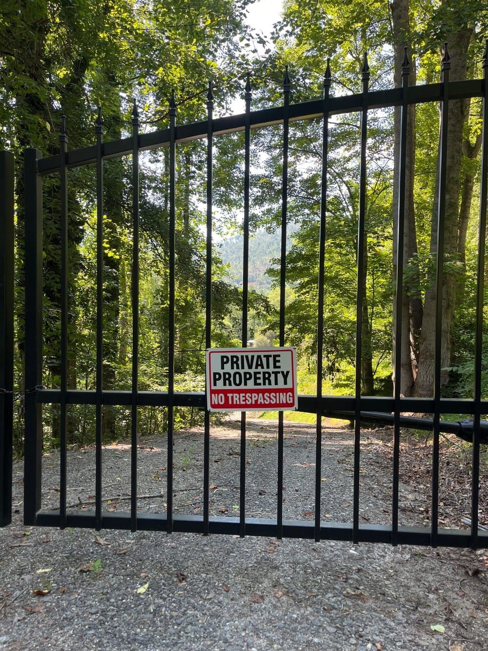
Except: there was this one black iron gate.
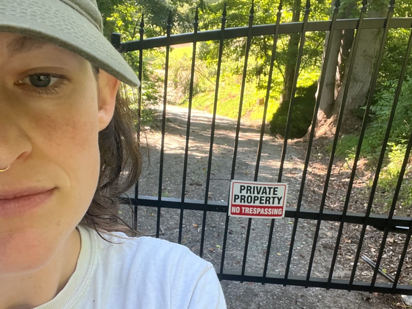
I’d noticed this gate before. In a cove where gates and fences are typically only for cows, this iron gate was notable for the big “Private Property” sign plastered across its locked façade. In the hours following the storm, news spread quickly — from person to person, since cell phone towers were down — that beyond that gate lay another way out of the holler, a route that hadn’t been destroyed by the storm. A combination of gravel roads could get you out to a different public road, one that hadn’t been washed away. A road where the only barriers were power lines and downed trees. Nothing some siphoned gas and a chainsaw couldn't fix.
In the days following Helene, the property owner of said black gate (and the subsequent road) opened it. This road became a lifeline. We were able to evacuate injured people and bring in necessary supplies.
Experiencing this storm and the early days of recovery showed me something that nearly a decade of working as a climate resilience planner had not. In America these days, there's a lot of talk about land that implies a stark divide: there is, on the one hand, private property, and on the other public land. For my community in North Carolina, Helene revealed that this duality is incomplete. It’s a paradigm that not only assumes but requires that the land stay static and stable — and Helene offered a reminder that land is not stable and thus property lines are not static. Conditions changed, and so did the landscape, and our private property was rendered suddenly and dangerously isolated, cut off from the world, were it not for the kindness of our neighbors who opened their gate.
Good neighbors may be fairly common. (In fact, if the storm taught us one thing, it was that there are a heck of a lot of good neighbors out there.) But when I think of the future we face, relying on good neighbors is insufficient land use policy. There will be more Helenes — continuous and widespread climate disasters that will tear through our landscapes with no care for the ownership lines we’ve drawn on the maps.
There are answers out there that can support our evolution beyond the constraints and inadequacies of private property paradigms. One is the public trust doctrine. In California, for example, the public has a defined right to access beaches, all the way to the highest of high-tide lines. Even if there is private property beyond that line, the owners cannot stop people from accessing the wet sand. And as the oceans rise, property lines are shifting. To ease the complexity, public officials have started to include language in property deeds along the coast noting explicitly the public’s right to the coast, and asserting that when that is inevitably put in tension with private property interests, the public right will prevail.
Sea level rise, though, is slow and steady. We’ll need to address other drastic and all too often violent impacts of climate change, too. One answer might be rolling easements, a unique type of conservation easement that allows the current use to persist, but subjecting that land to certain triggers — like flooding — that allow the easement holder to access or leverage a certain property right typically only for the owner. Rolling easements in the public name could be placed on some land, enabling people to access private property during a flood.
There are more transformative solutions, too, that reconceive property as something more public — cooperatives and land trusts, for example — in ways that may better suit our climate change future while also addressing the injustices of present day private property. Throughout U.S. history, property has been a tool for building and maintaining power and wealth; from the Homestead Act to policies like redlining, Black and Native people have been intentionally left out of property ownership. Imagining and implementing alternative ways of relating to and governing land because climate change demands it also offers an opportunity to also address realities of racist and unjust land ownership today.
Today, the black iron gate is closed again. There is a new bridge. My parents' neighbors in the Bull Creek Holler come and go on the public road, just like before. Things are back to “normal,” then. But I can’t stop thinking about how that is still back. In climate resilience planning circles, we often talk about “bouncing forward” instead of “bouncing back.”
In Western North Carolina, we are the wiser: We know now that private property is inadequate in the face of changes so powerful that they’ll literally rip out a bridge overnight. So we need to find a way forward.
Peyton Siler Jones, a native of Swannanoa, North Carolina, is the Founding Principal at Siler Climate Consulting (SCC), a climate planning firm that specializes in supporting community -scale climate solutions with a particular focus on centering the voices of marginalized people in local planning and policy.
Opening photo: Creative Commons / Peterdownunder