

This story originally appeared in Issue No. 01 of Southlands. You can escape your screen and dive into a print version of the story by ordering a copy in our shop. And be sure to subscribe to receive the next two issues.
As a child, I remember my uncle telling my cousins and me that he’d been baptized in the river. He’d found sanctification there, and his sins had been washed away. He told us stories about learning to swim in crisp, cold water in childhood summers, swinging from a tattered rope with his brothers, their brown bodies landing in the water with a hard splash.
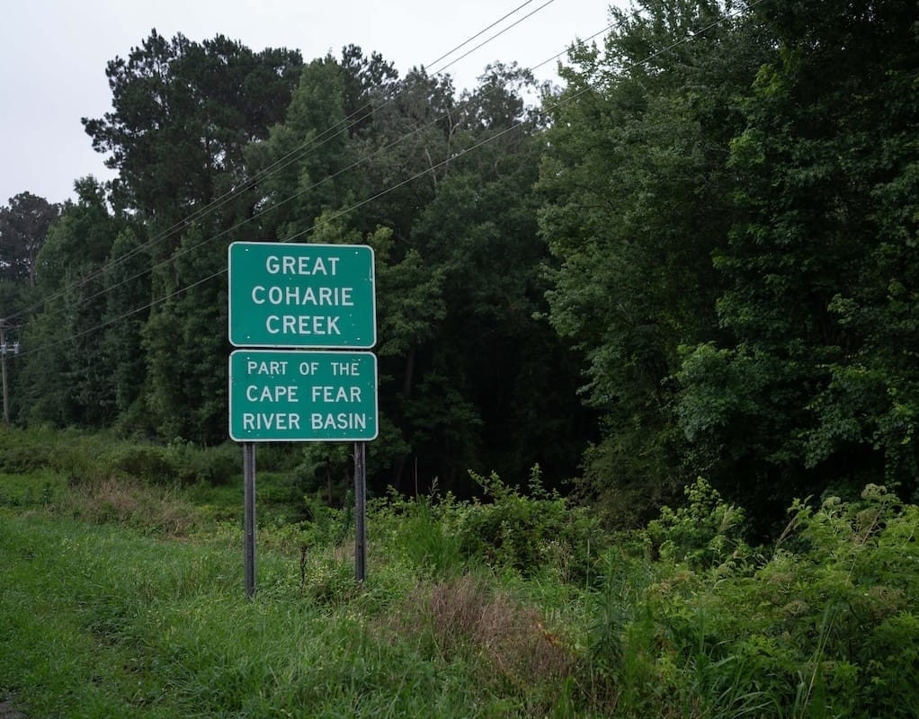
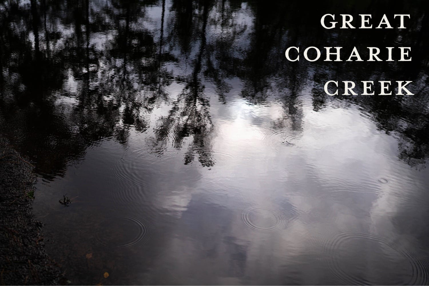
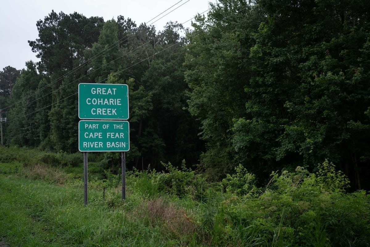
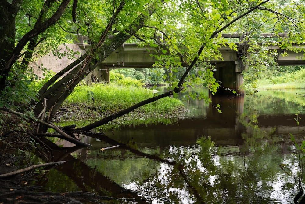
The Coharie are a small tribe with less than three thousand enrolled members; our tribal office is in Clinton, North Carolina, which is situated almost perfectly halfway between the state capitol of Raleigh and the bustling coastal city of Wilmington. Sampson County is a massive agricultural center, covering over 940 square miles—nearly the size of the state of Rhode Island. Lush farmland and dense plots of timberland cover its expanse. Five creeks and rivers and a host of smaller tributaries run through the county too, offering more than three hundred miles of waterways. For my entire life, when I’d head northwest into the county, I’d cross a bridge on U.S. Highway 421. On the right stands a tall, crayon-green road sign, reading GREAT COHARIE CREEK—though we always just called it “the river.”
I always loved my uncle’s story and imagined a time long ago when our people did these things at the river. I wondered why we didn’t do them anymore. Hearing “snakes” was reason enough to never ask again. I knew that this was the river with which my tribe shared its name, but I’d never visited its banks. I’d never dunked my hands and feet in, feeling the coolness of its shallow waters running across my fingers and toes. I’d never watched a paddle glide across its surface as I navigated down its course.
It was “our river,” but I never learned what it meant to be of the river. And as far as I knew, no one my age did.
Over time, I learned my uncle wasn’t alone. Our people had once found refuge around the river—my father, even, had similar stories. There was respite in the cool water and shade after long days working in the fields. There was solace after facing the daily inequities of a Jim Crow South. Churches hosted baptisms here and families gathered for cookouts.
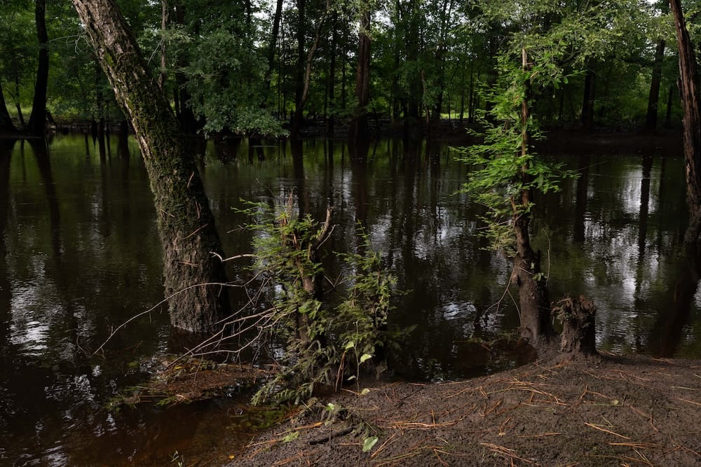
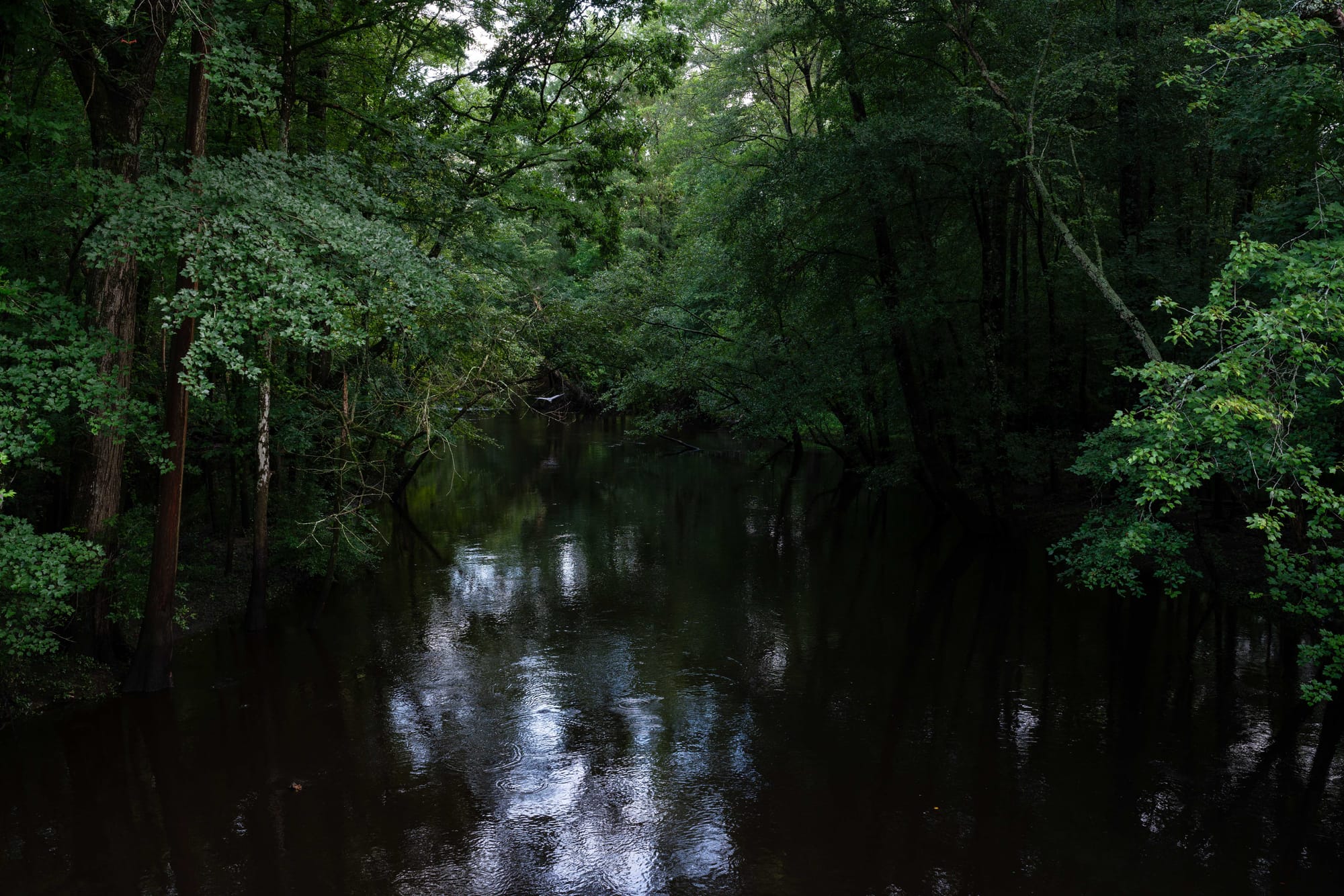
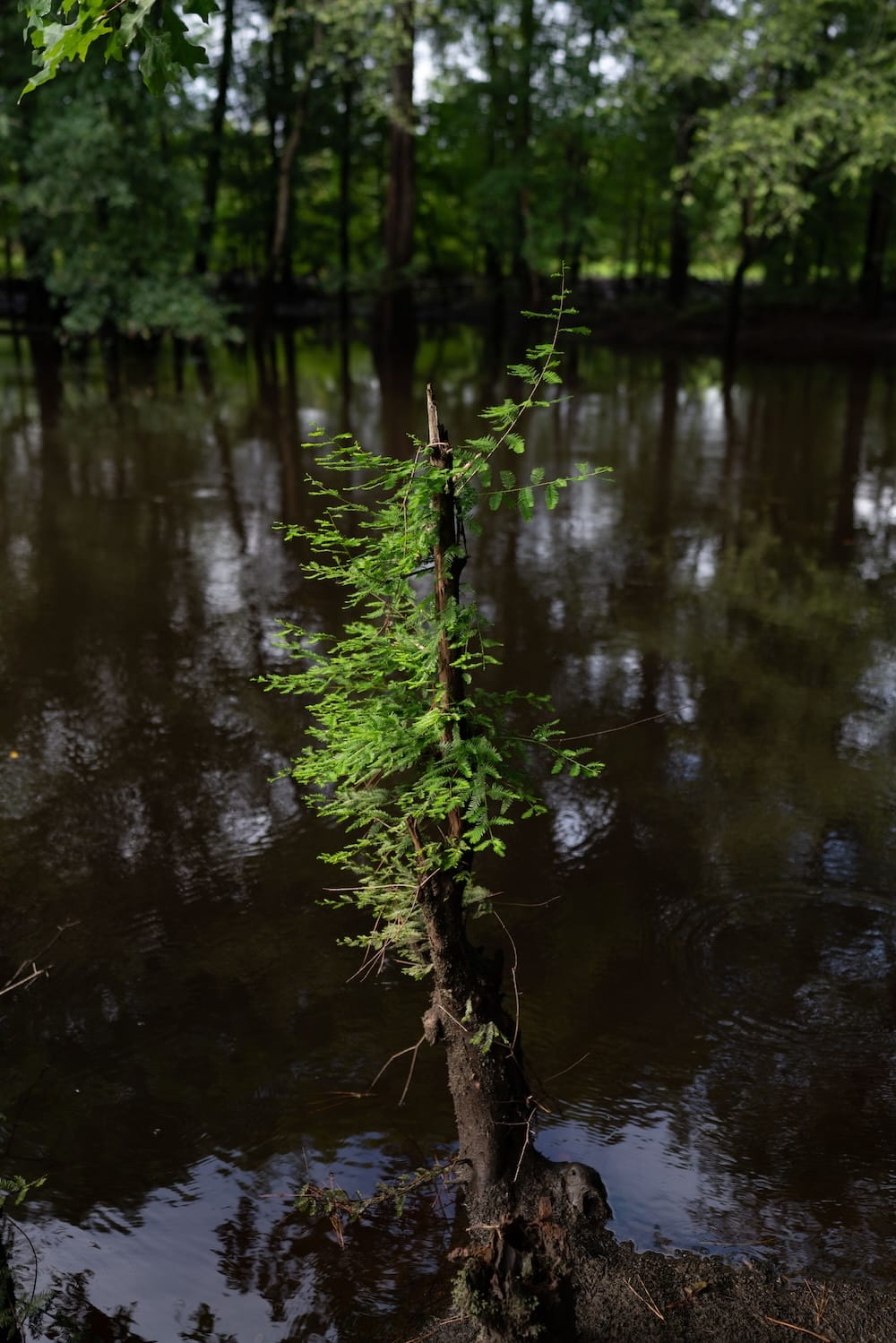
But I’d spent my childhood unaware that this reserve existed. I was born in the late spring of 1996. Just months later, back-to-back hurricanes—Bertha and Fran—brought debris and fallen trees into the river, clogging it and making it swampier. The damage offered the perfect conditions for beavers, which were reintroduced in the region in the 1930s, to thrive. The rodents began damming the river, causing the surrounding areas to flood. Between the hurricane debris and beavers, the river became obstructed and almost impassable. Quite literally, the Great Coharie Creek was not accessible for my entire life. Until finally it was.
In 2015, a few men from the tribe began going out on weekends with borrowed chainsaws, cutting down fallen trees and collecting debris. One of my cousins helped with the initial clean-up. Like most people from the tribe, I learned about the restoration through photos I saw on Facebook: boys and men knee-deep in the water. Little by little, they waded further and further down until they’d cleared a mile of the once-obstructed river in the first month. To date, the tribe has cleared more than one hundred miles of the waters in the county and received more than $2 million in funding to do the work.
The sky is grey over the Coharie Tribal Center. It’s an old brick building layered in thick white paint that once housed an Indian school that educated Native people across North Carolina’s Coastal Plains. Dark, heavy clouds hover low above the center as an early spring storm approaches.
I meet Kullen Bell and Phillip Bell in the grassy parking lot. They head up the tribe’s Coharie River Initiative, taking visitors down the river and leading the continuing restoration efforts. They load two kayaks into the bed of an old, grey, rectangular Chevrolet truck idling nearby. Kullen tells Mr. Phillip which river route we’ll be taking today. Mr. Phillip looks up at the darkening sky and tells us to hurry up before the rain comes and ruins our paddle.
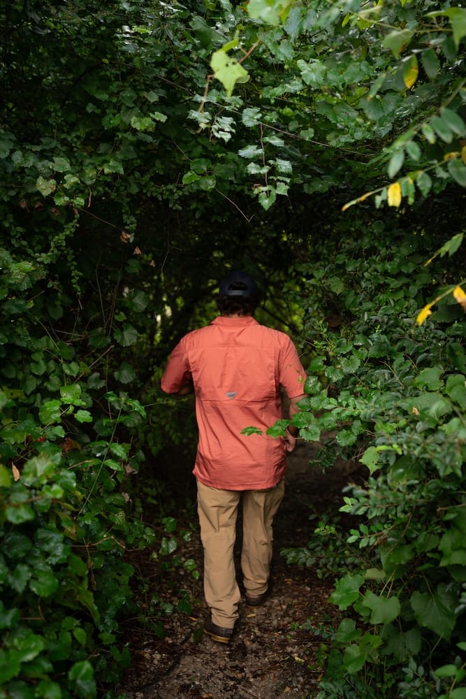
As I climb into the truck’s backseat, Mr. Phillip asks, “Now, how do I know you?” In other words, who are my grandparents, parents, aunts, uncles? Who does he know that I know? We find our common ground and talk about my family as we make the five-minute drive toward the access point. Kullen tosses me two life jackets, worn from many trips but still sturdy enough for use. The men walk down a nearly invisible footpath that leads to the banks of the river, carrying the two kayaks. They travel the river and its nearby waters and swamps weekly, if not daily. I hear them discussing new changes along the familiar path, signs that someone has visited or something new has grown. Kullen and Mr. Phillip place the kayaks at the edge of the river and begin giving me instructions on adjusting the footwells as I settle into the boat.
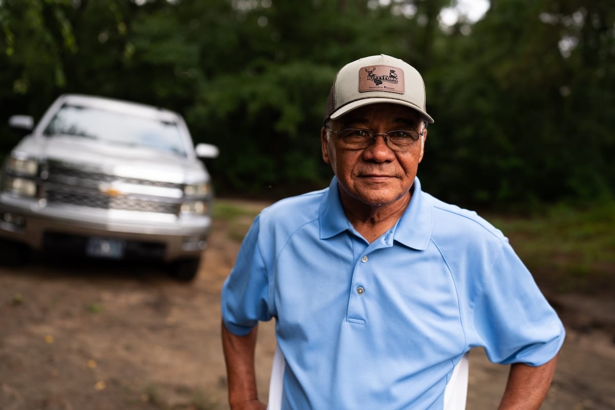
Phillip Bell (left), the director of the Great Coharie River Initiative, and Kullen Bell (right), the Watershed River Coordinator, are working to reconnect people to a waterway that, though essential to theCoharie Tribe’s history, had long been inaccessible.
I get comfortable in the bright, frog-green plastic kayak as Mr. Phillip softly pushes my boat into the water. Kullen tells him that it’s my first time paddling down the river and Mr. Phillip raises his dark grey eyebrows, a grin spreading across his face. He removes his hands from his hips and slaps them on his thighs, laughing:
“Well, you’re in for a treat!”
I acclimate myself with the paddles and begin paddling in small circles. The current isn’t strong, so I place the paddles across my lap and look up at the overcast sky. It’s mid-March, the time of year when winter and spring just meet, sharing a tentative kiss. The nearby trees—bald cypress, sweet gum, Carolina ash—still hold signs of winter’s bareness as their naked limbs reach towards the sky. Downstream, though, the red maples have already started blooming.
The clouds create a stained-glass sky; small slivers of sunshine peek through the leaves. Birds call. Ripples appear in the water. Highway 421 is typically loud, heavy with traffic from eighteen-wheelers and farm equipment. But the forest deadens those sounds and a hush settles over the river. It feels as if I’ve entered an entirely new world, one that is miles away from the town I grew up in, rather than right in the middle of it. It’s a tiny oasis and I’m awestruck by its existence, that it’s been here all along. I understand why community elders keep referring to this place as a sort of sanctuary.
Kullen joins me in the water and we begin paddling down the river. As we float below the highway overpass, our voices echo. I ask questions. Kullen immediately begins calling out the names of the plants, animals, and trees.
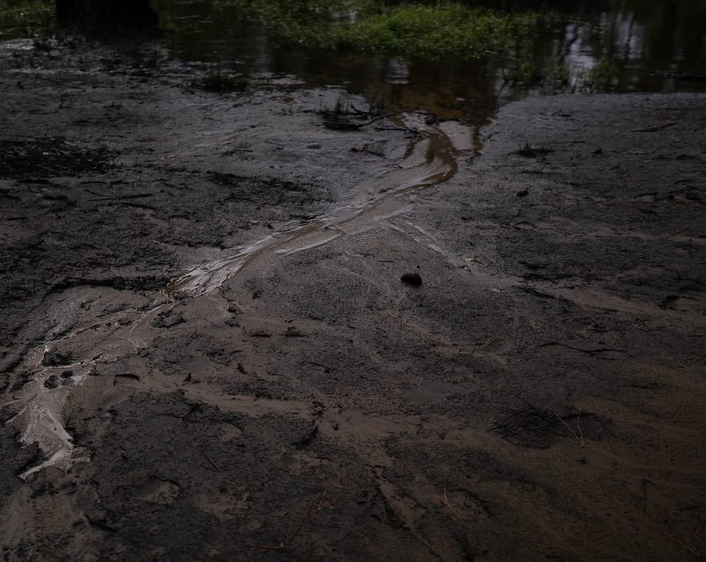
The tannins from the ancient bald cypress trees have stained the water a rich, dark brown, like a mug of oversteeped tea. The river is shallow enough that I can see schools of tiny fish swishing below the surface, their slender, uniform bodies gliding between and around small plants. A large jagged rock juts out of the water and offers a resting spot for a small box turtle. His long neck stretches high, as if in worship of the sunlight.
“You must have a good vibe,” Kullen says.
The turtle dives with a small splash. We pass close to the banks, where hundreds of freshwater mussel shells are clustered, black and grey and white. Some are small, some are chipped. Now that the river is accessible again, women from the tribe can collect these shells for jewelry.
I hear the incessant, rapid drumming of a red-bellied woodpecker. Some trees bear the marks of their labor, perforated with hundreds of holes from their beaks. One tree is bare of bark, but littered with so many holes it looks as if someone unleashed hundreds of bullets into its trunk. We pass beaver lodges, a sign that the animal is still present.
I ask Kullen why we call it the river, despite it being classified as a creek. He begins to explain, then abruptly stops and points: “Oh, there’s an owl.”
My eyes struggle to locate the bird, but the hair on my arms and neck stand up: I feel him watching. To some Native people, owls can be a sign of death or a bad omen. But I’ve always liked the idea that they act as guides. My eyes carefully search the dense trees until I find him. His eyes lock on me. His white-feathered wings are snapped close to his body, specks of black sprinkled throughout. His head moves slightly, following us until we’ve rounded a bend in the river.
It feels as if I’ve entered an entirely new world, one that is miles away from the town I grew up in, rather than right in the middle of it.
We paddle into a slough where the water opens into a wide copse of trees, forming a semicircle. The water is still here. It’s quiet, save for the occasional birds. Kullen returns to my question, explaining that the classification of a river or a creek is dependent upon depth and length, but it’s mostly subjective. At its deepest, the river reaches down about six feet, but everywhere else, you can stand up.
To my people, this has always just been our river.
The river opens into a wide, straight, hundred-yard stretch—the only one in this two-mile route. Then, rounding the next bend, we pass trees covered in beaver chew where teeth marks cover the base of the trunks. A beaver felled a tree across the river in an attempt to create another dam, but someone has cut the middle out with a chainsaw. For now, it creates a bunch of small rapids that we “scuttle” over, building speed from ten or so feet away.
We pass rivercane shooting up out of the ground in huge clusters and bare blackberry bushes, not yet in bloom.
When we return to the tribal center, Kullen brings me to a climate-controlled room where the tribe keeps the six-hundred-year-old dugout canoe recovered in the South River a few years back. The same room features a massive map of Sampson County. Someone has outlined the course of the rivers and creeks with different colored markers, their names written alongside. A blue line runs down the middle of the map, denoting the Great Coharie Creek. It starts almost at the northernmost point of the county and runs all the way south, where it converges with the Black River. Kullen asks what the county’s shape looks like to me. I turn my head to the left, then to the right, squinting my eyes.
“Hm, a heart?” I guess.
He points to the blue line and smiles, “Yep, and that’s the Great Coharie—the main artery of our county.”
I’d once wondered why my ancestors decided to settle this land. I imagined them making the trek inland as they fled rape, genocide, and enslavement from white settlers. Our town is about fifty miles from the Fall Line, where North Carolina’s Coastal Plains meet its Piedmont region, creating natural falls and rapids in the rivers. And just ninety miles southeast are clusters of coastal towns and beaches. There were prettier places in the state they could’ve settled, but that’s why they ended up near this river, its swampy ground less desirable for early settler agriculture, but secluded and safe and still beautiful. Sitting in the plastic kayak, I pictured something different. I imagined them taking refuge in the swamp forests, dense and alive with nature. I imagined them making their homes on the sandy high ground.
Some people have called their first ride on the river a homecoming. But for me, it felt more like a home-finding, like discovering my place—where home is—without even knowing I’d been searching for it. I never quite realized the weight of that loss until it was restored.
Now I can picture the lives they might have envisioned here. I wonder whether, in their search for refuge, they would’ve imagined me meeting this place for the first time. When they found home and safety here, did they ever dream of me doing the same?
This story originally appeared in Issue No. 1 of Southlands.