

History: The Shawnee people lived in this region, and the river was noted for agricultural use by European settlers in the immediate post-Boone era. Dams built following destructive twentieth century floods formed Lake Jericho.
Geology: Ordovician-era limestone bedrock lies at the bottom of steep slopes formed by recent erosion. Karst features abound. The river is a combination of drainage runoff and spring-fed tributaries flowing into a main channel.
Ecology: Slopes covered with deciduous hardwood forest and narrow floodplains define the surrounding area. The region is still predominantly used for agriculture, namely soybeans, corn, and hay. Local species include sizable whitetail deer, large and smallmouth bass, and migratory waterfowl on the Mississippi flyway.
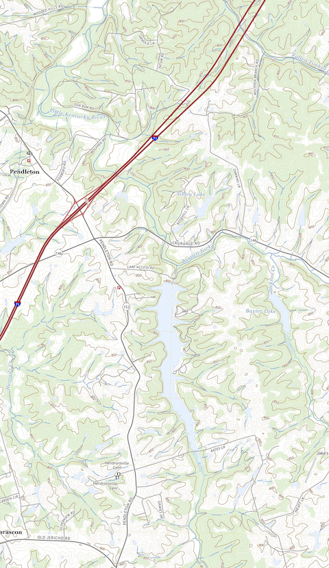
How people use it: Bass fishing from light motored boats is most common, but the river is also popular with paddlers and birdwatchers. Lake Jericho has designated camping and recreation areas often used by travelers passing through on Interstate 71.
You can’t be heard via cell in the valley. Service is fine before and after this dip in the Earth, but over the water you’re a ghost — one of many.
The Little Kentucky is a 37-mile river in northern Kentucky that crosses Henry, Trimble, and Carroll counties. The landscape here is defined by verdant rolling hills, towering maple and oak trees, and limestone-bottomed creeks whose nutrients seep into the grass and make its thoroughbreds the strongest racehorses in the world. I spent the first eighteen years of my life here, crossing the steel and cement bridge over and over again to leave an antebellum farmhouse and reach civilization.
This region of Kentucky was settled by a large influx of Irish and German immigrants who followed Daniel Boone’s Wilderness Road and continued north. The Little Kentucky watershed became an important agricultural resource: a wide and shallow collection of streams running through the bottomlands of dozens of farms, the Little Kentucky offered water to irrigate crops and provide to livestock. By the early nineteenth century, multiple settlements had sprung up along the banks of this pleasant, burbling brook.
Then came the floods. The Ohio River Valley is highly susceptible to flash flooding, and by the early twentieth century it became apparent that the scenic, almost quaint Little Kentucky was capable of rising several feet with little warning. The 1937 flood of the Valley — over 300 deaths, many more displaced — was, at the time, one of the worst natural disasters to hit the U.S. Still, it wasn’t until the late 1950s, when thousands of acres of cropland were destroyed by its waters, that the body of the Little Kentucky was altered into its current form.
The black silhouettes of a hundred resting birds is a good thing to see against the silvery background, driving over the bridge in the barren, winter months.
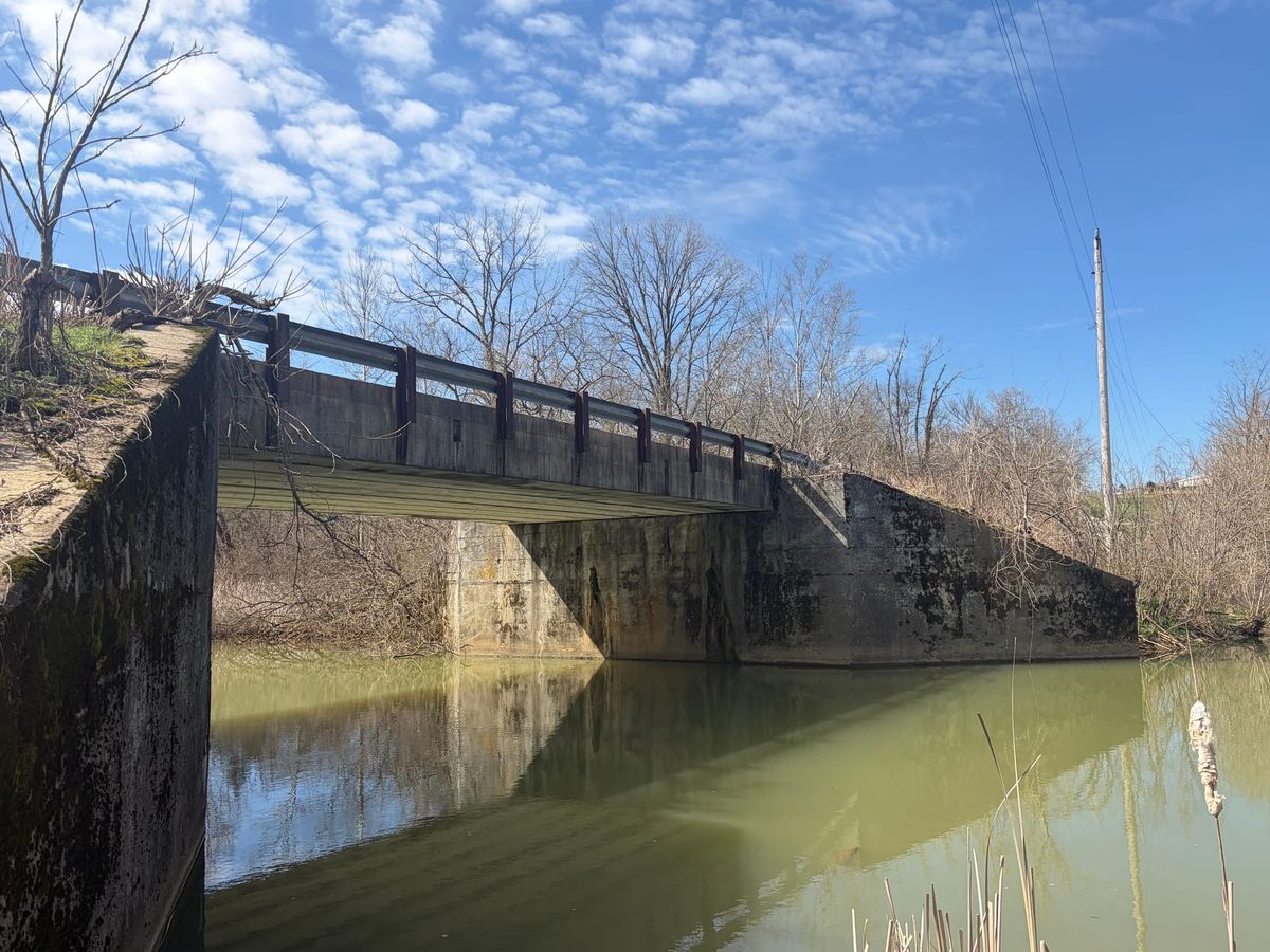
Structures were built, lakes formed. The largest is called Lake Jericho, a designated recreation area just off Interstate 71: RV camping, bass boats, rentable pavilions et al. Fees are low. The bridge I crossed in my childhood sits above the dam, the Little Kentucky is slower and higher, sometimes almost stagnant. It’s not uncommon to see old trees curving over the surface, growing out the side of the steep shore, creating a loose, shady canopy.
It’s also become a significant refuge for migratory waterfowl, due to the coincidental lack of hunters on the waterfront property. The black silhouettes of a hundred resting birds is a good thing to see against the silvery background, driving over the bridge in the barren, winter months.
For me, in my youth, the Little Kentucky was the gateway from my family’s bucolic pastures to roads with lines in the middle. It was the first significant body of water I ever encountered, a baseline for what, for me, defines a river versus a stream. As I grew into a passion for fishing, the bridge became a testing ground for new flies, a place to practice casts without fear of getting tangled in a tree. Crossing the span at night, I slow down and watch the reflection of the moon in its dark water, thinking of the bodies still lost in the silty mud below.
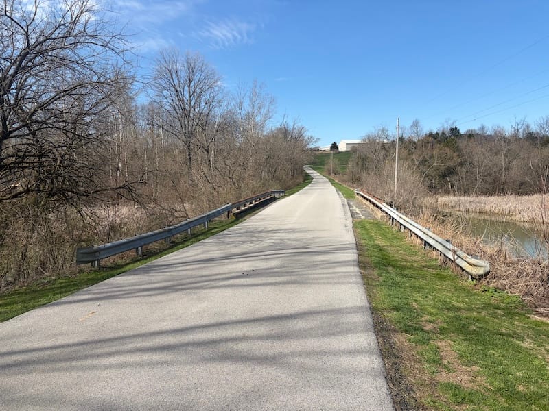
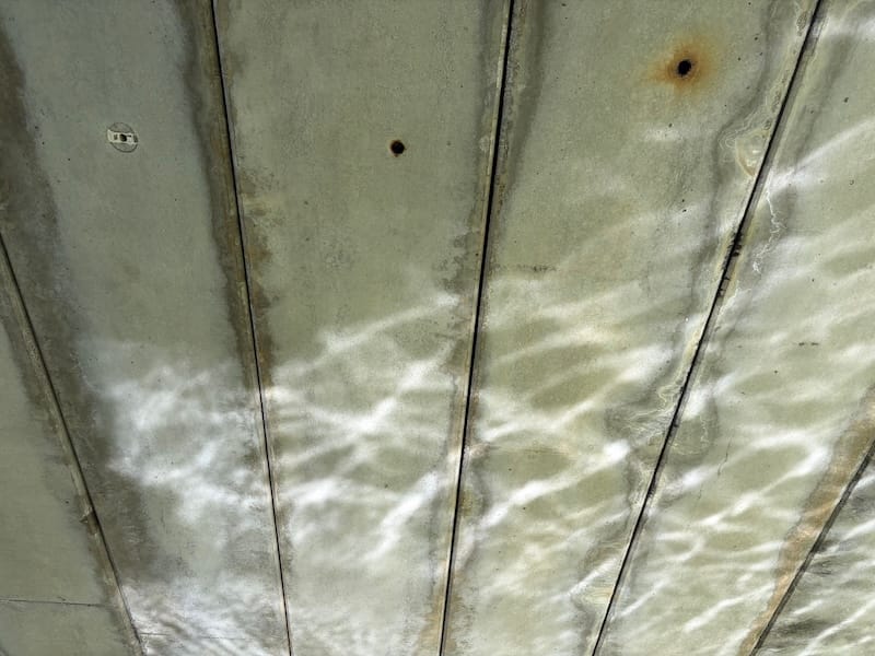
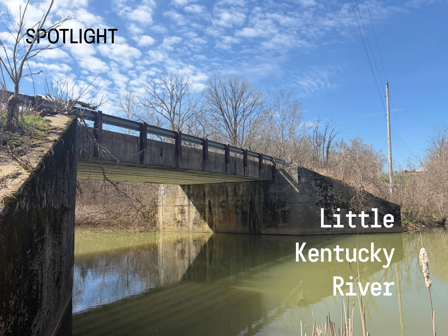
The bridge, though unnamed, is a fixture of Henry County, the place where locals launch small watercraft and fish from its railings. While your phone call may drop, new conversations begin as trucks slow down to inquire about the day’s catch. A small public campsite used to exist along the shore near the bridge; a few hundred feet upstream, benches made of planks suspended between close-set trees are still visible, like an invisible court of druids.
The Little Kentucky won’t be found on any top ten lists, but it survives in the same state as so many waterways today: resculpted by mankind decades ago, then left alone to reclaim its own kind of wildness. There are ghosts in these waters — of settlers, streams, and boundaries that no longer exist — but I need only pause on the bridge to remember the history of my home state, that dark and bloody ground.